OBSERVATORY / APPLICATION
Mapping
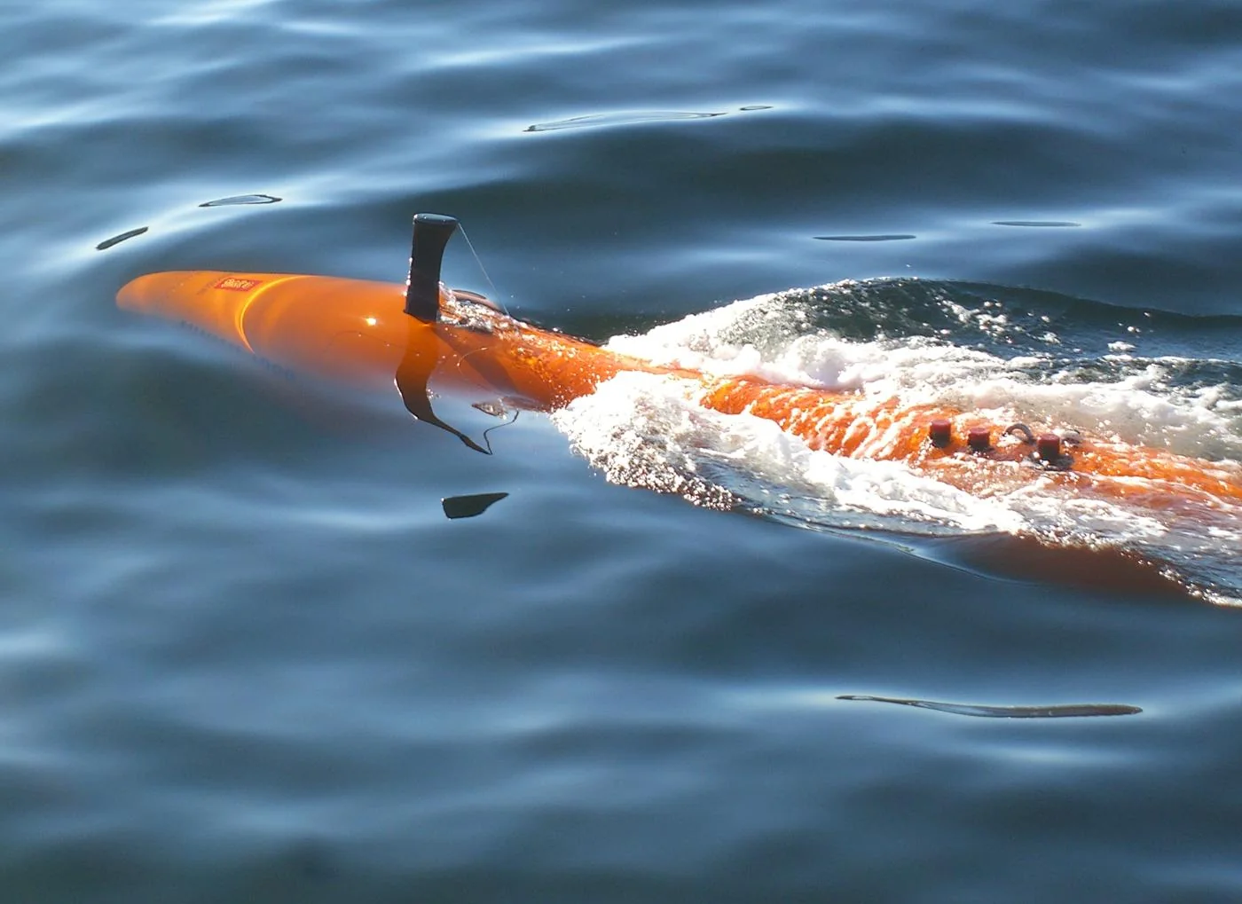
Drones, vehicles and marine robots collect georeferenced imagery or range data for maps and models.
Common tasks
- aerial photogrammetry
- lidar survey
- bathymetric survey
Value factors
- repeat coverage
- access to difficult areas
- digital twins
Constraints
- positioning accuracy
- sensor calibration
- processing
- permissions
Connected records
Source ledger
| Publisher and record | Scope | Evidence | Verified |
|---|---|---|---|
| NOAA: What is lidar? ↗ | general | Confirmed · Primary | Aug 20, 2026 |