Observatory index online 41.8781° N / 87.6298° W · Autonomous systems field index How we verify data →
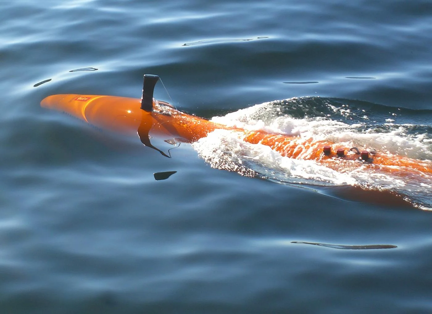
A Kongsberg HUGIN autonomous underwater vehicle illustrates robotic seafloor mapping.
Image: Kongsberg Discovery ↗
OBSERVATORY / APPLICATION

Mapping

Drones, vehicles and marine robots collect georeferenced imagery or range data for maps and models.

Official source ↗
ConfirmedLast updated: Aug 20, 2026Supporting source ↗

Common tasks

  • aerial photogrammetry
  • lidar survey
  • bathymetric survey

Value factors

  • repeat coverage
  • access to difficult areas
  • digital twins

Constraints

  • positioning accuracy
  • sensor calibration
  • processing
  • permissions

Connected records

Source ledger

Publisher and recordScopeEvidenceVerified
NOAA — What is lidar? ↗generalConfirmed · PrimaryAug 20, 2026
Observatory directory

Trace any path through the machine world.

Every profile connects to the companies, technologies, industries, research and news around it.

Machines

DronesRobotsHumanoidsAutonomous VehiclesMaritime SystemsSpace Robotics

Ecosystem

CompaniesTechnologiesComponentsIndustriesApplicationsPeople

Intelligence

DefenseResearchLabs & UniversitiesInvestingMarket IntelligenceRegulationHaberler

Explore

EğitimGlossaryCompareRankingsDünya HaritasıTimeline