OBSERVATORY / TECHNOLOGY
Lidar
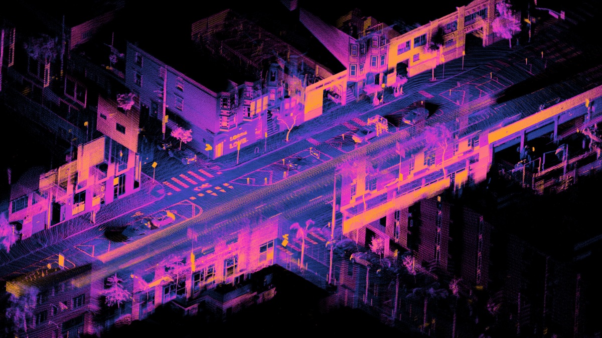
Lidar measures distance by timing reflected laser light and can build geometric representations of surroundings.
How it works
A transmitter emits laser pulses; a receiver measures returns, and the system converts time of flight into distance samples.
Why it matters
Lidar can provide direct depth measurements for mapping, localization, inspection and obstacle detection.
Advantages
- direct range measurement
- high-resolution 3D geometry
- useful in low ambient light
Limitations
- cost and power vary by design
- weather and reflective surfaces can affect returns
- does not by itself provide semantic understanding
Connected records
Source ledger
| Publisher and record | Scope | Evidence | Verified |
|---|---|---|---|
| NOAA: What is lidar? ↗ | general | Confirmed · Primary | Aug 20, 2026 |