OBSERVATORY / TECHNOLOGY
Simultaneous Localization and Mapping
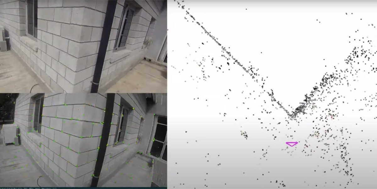
SLAM estimates a machine's location while constructing or updating a map of an initially uncertain environment.
How it works
Algorithms combine motion estimates with repeated observations of environmental features, optimizing the map and pose together.
Why it matters
SLAM supports navigation where a reliable prior map or satellite positioning is unavailable.
Advantages
- map creation during operation
- supports GPS-denied navigation
- can combine multiple sensors
Limitations
- accumulated drift
- sensitivity to perceptual ambiguity
- compute and calibration demands
Connected records
Source ledger
| Publisher and record | Scope | Evidence | Verified |
|---|---|---|---|
| IEEE: Simultaneous Localization and Mapping (SLAM): Part I ↗ | general | Confirmed · Primary | Aug 20, 2026 |