LEARN / TECHNOLOGY
Simultaneous Localization and Mapping
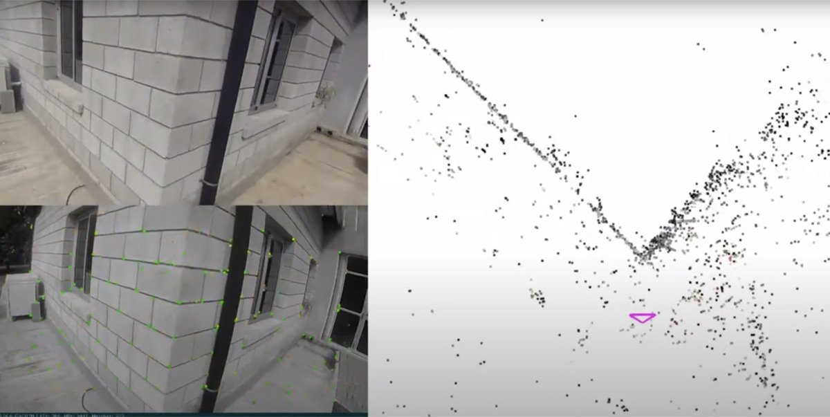
SLAM estimates a machine's location while constructing or updating a map of an initially uncertain environment.
How it works
Algorithms combine motion estimates with repeated observations of environmental features, optimizing the map and pose together.
Why it matters
SLAM supports navigation where a reliable prior map or satellite positioning is unavailable.
Advantages
- map creation during operation
- supports GPS-denied navigation
- can combine multiple sensors
Limitations
- accumulated drift
- sensitivity to perceptual ambiguity
- compute and calibration demands
See it in the Observatory
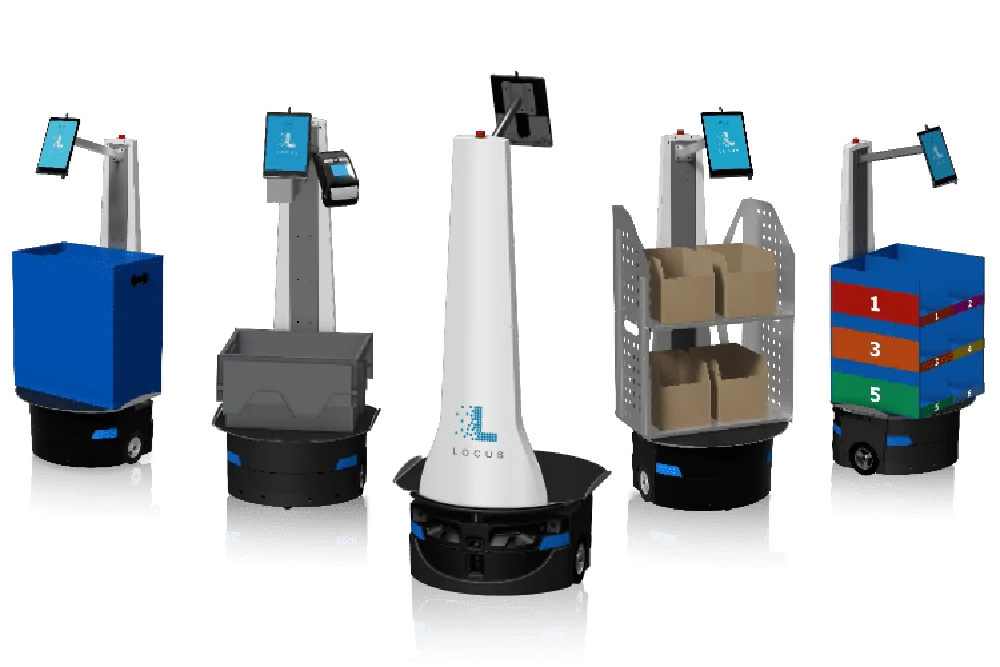
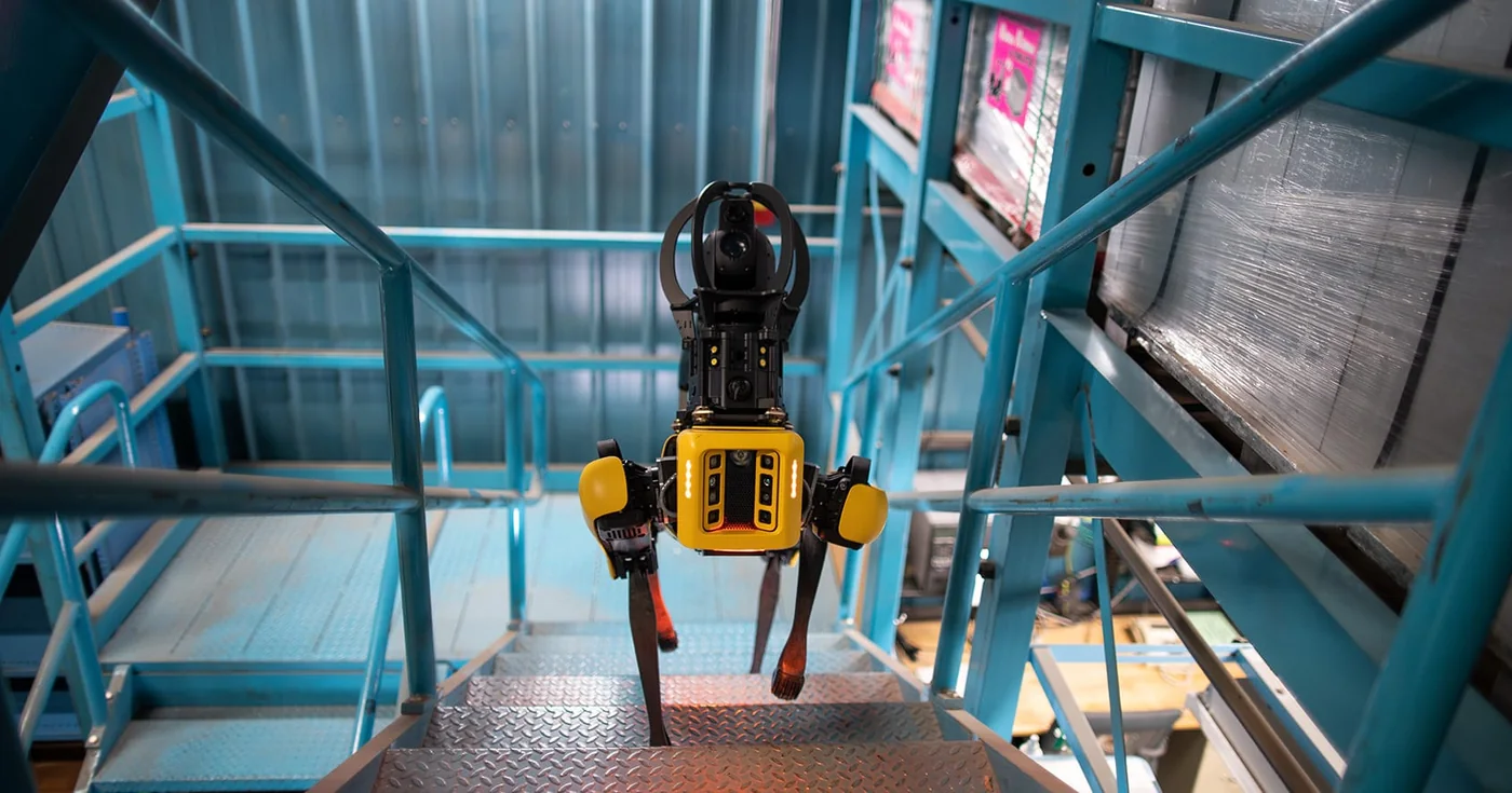
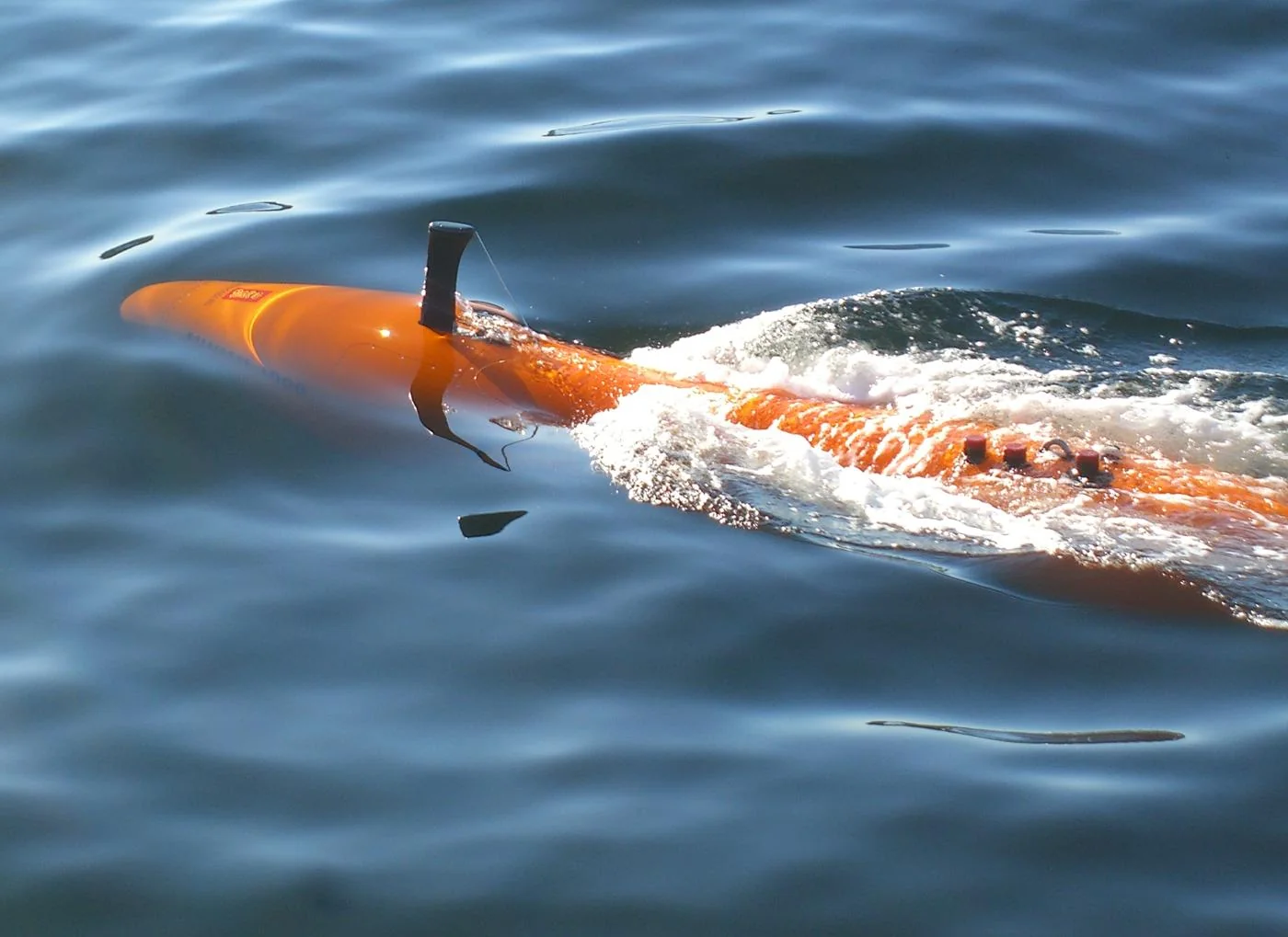
Image credits
Locus Origin: Locus Robotics ↗Spot: Boston Dynamics ↗HUGIN: Kongsberg Discovery ↗
A definition is a starting point.
Capabilities depend on implementation, operating environment, training data, hardware and safety controls. Follow the connected records and sources before generalizing.